WebGIS - Geospatial Mapping Information System
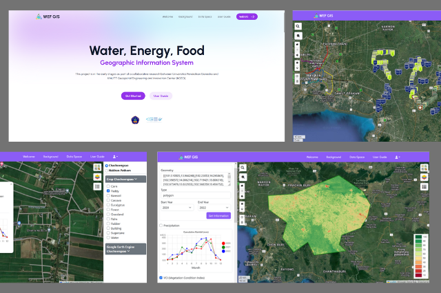
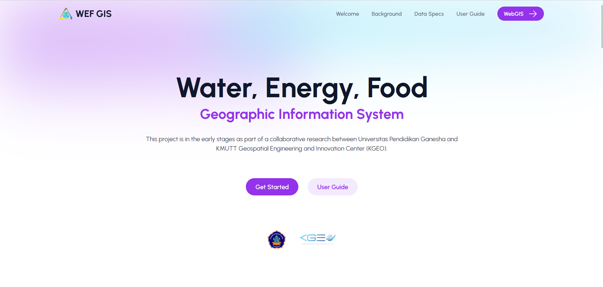
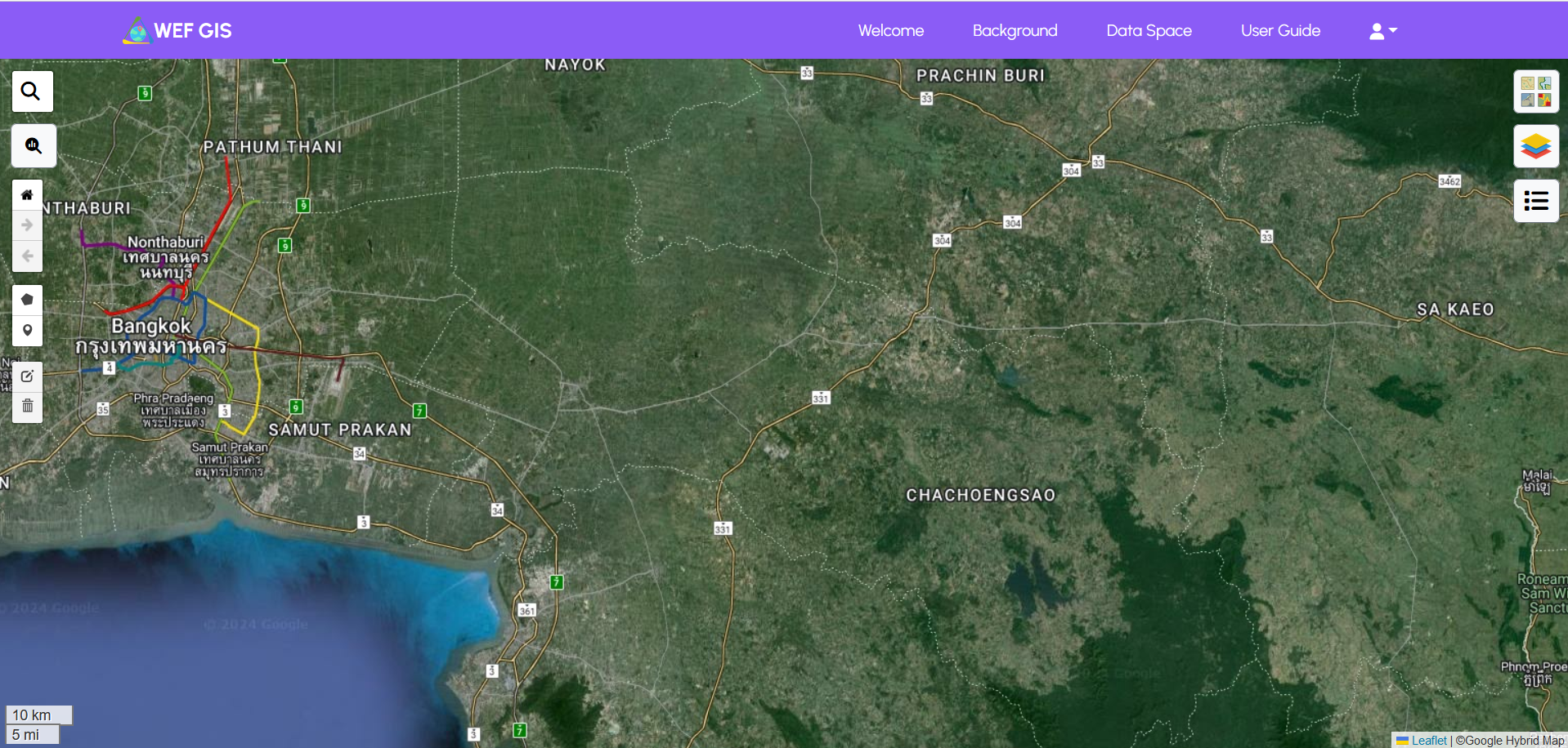
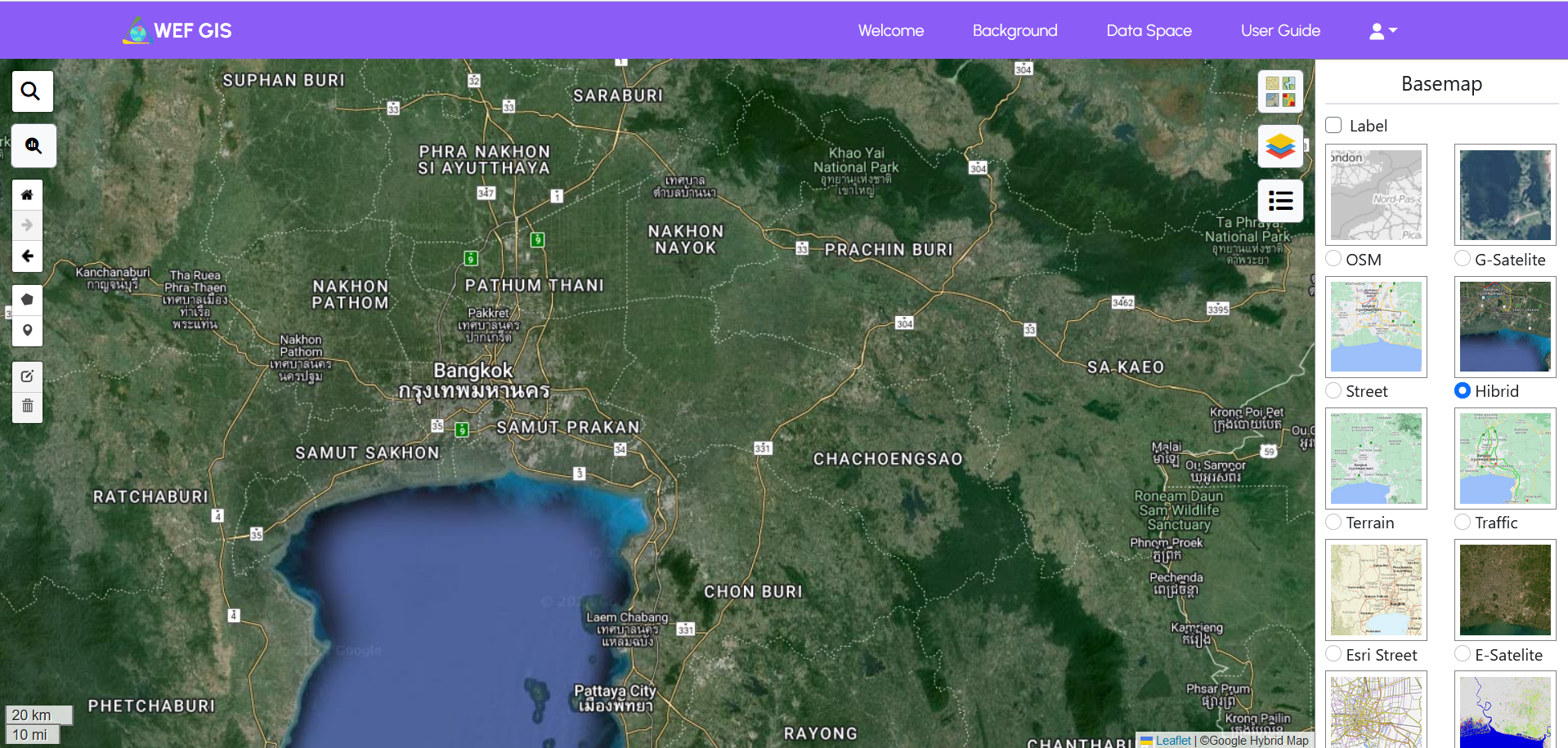
Website-based Geographic Information System (WEBGIS) for mapping agricultural land and visualizing geospatial information.
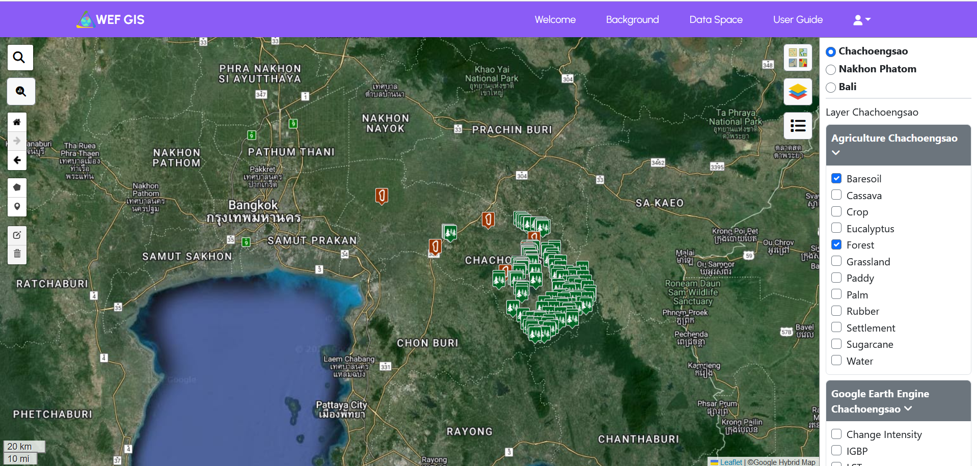
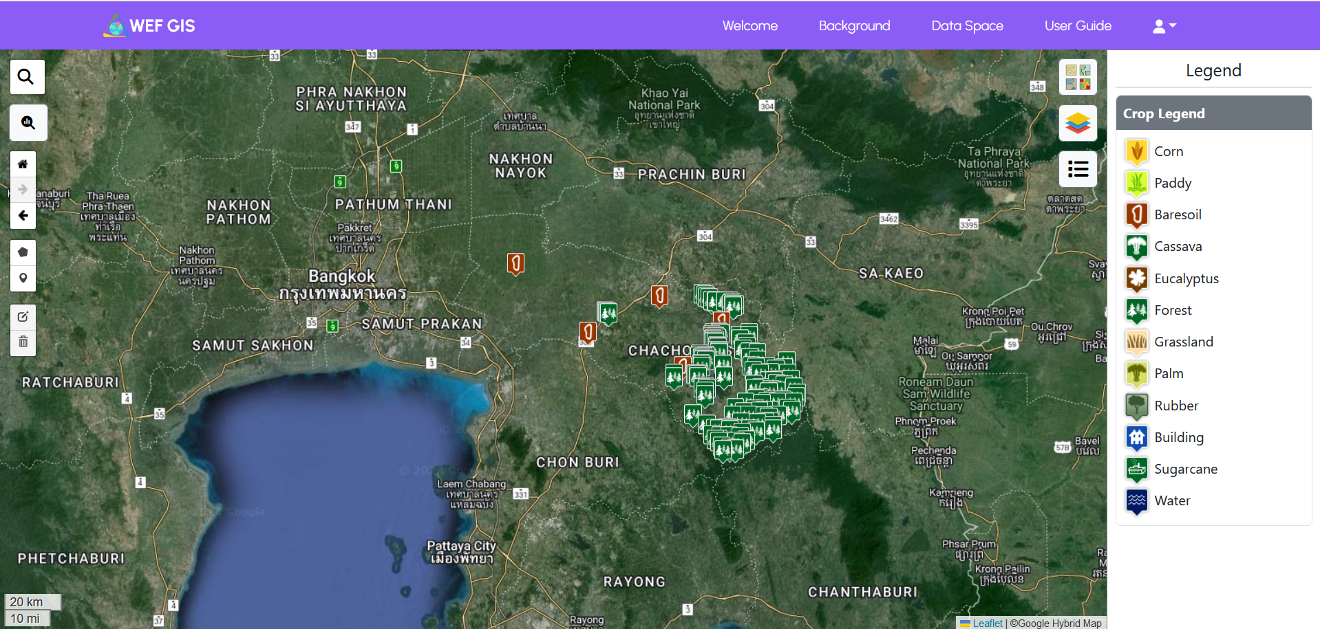
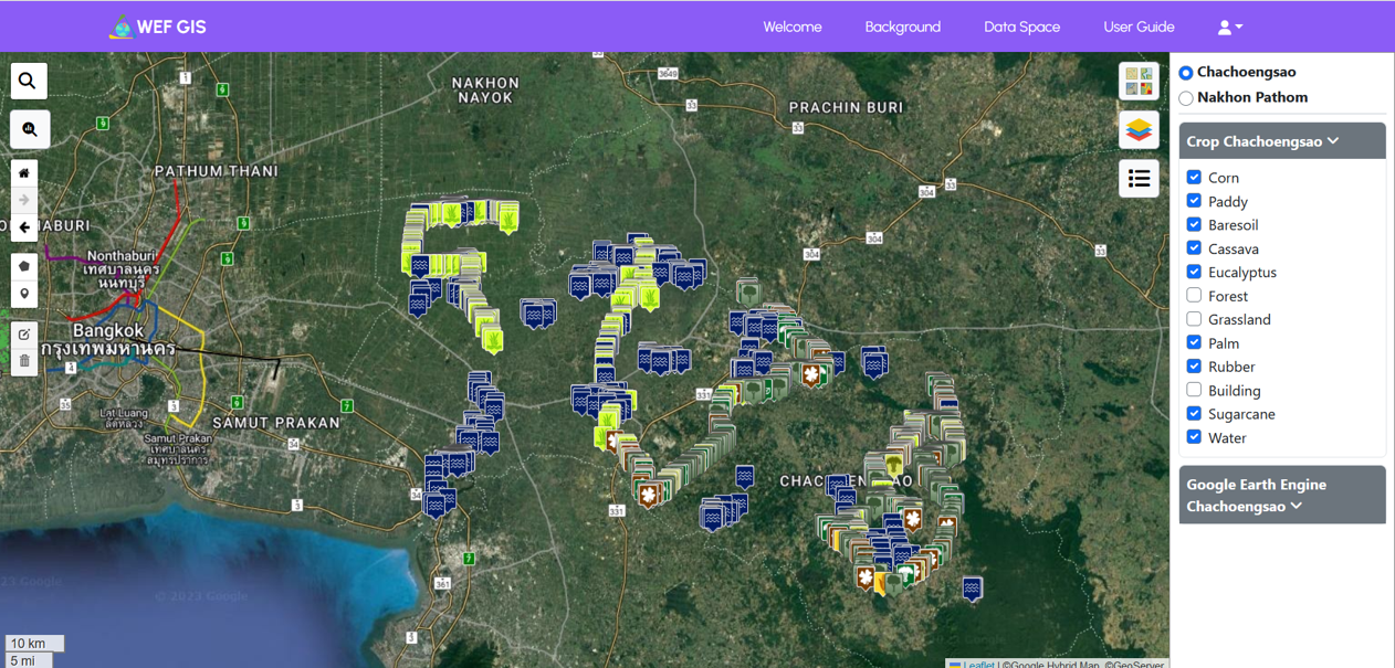
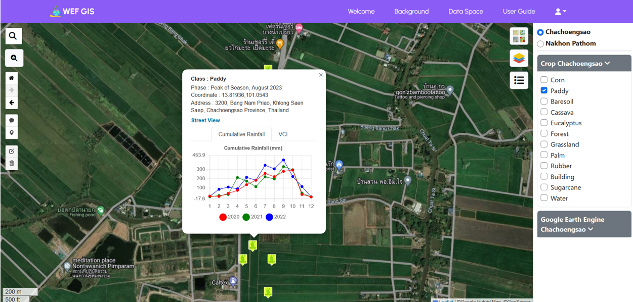
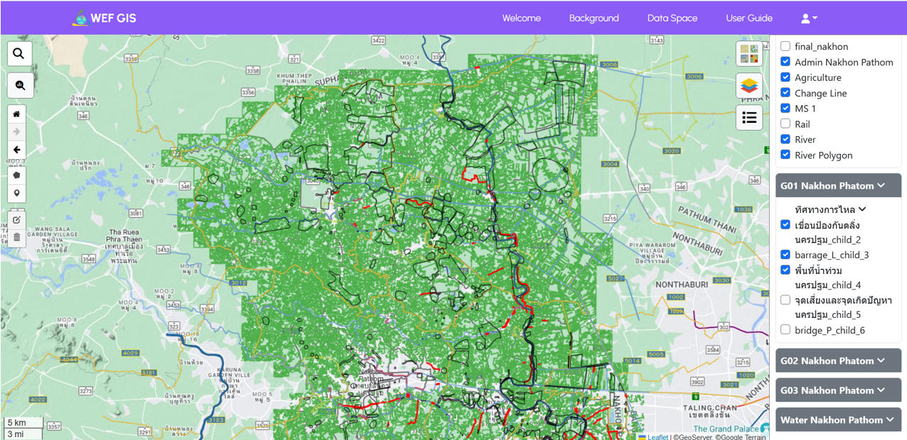
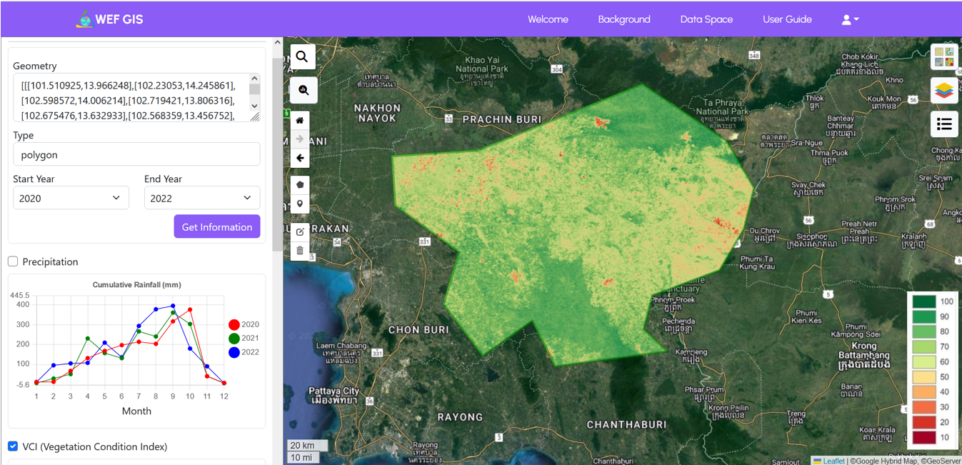
WebGIS is used specifically for agricultural land mapping, as well as visualization and analysis of geospatial data. This WEBGIS integrates Geoserver technology as a spatial data server and Google Earth Engine for sophisticated visualization and analysis of geospatial information.
Making: July 2023 - December 2023
Tech used:
- HTML
- CSS
- JavaScript
- LeafletJS
- PHP
- Laravel
- MySQL
- Geoserver (Server Data Spatial)
- Integration Model Google Earth Engine (GEE)
Link: